
North Brunswick Street Directory Steps
Use the address as the starting key, not a conclusion about a household. USPS can standardize the delivery address, then the township or county parcel resources can locate the property. Record the municipality, block, lot, qualifier, PAMS PIN, parcel geometry, and any older parcel identifiers shown. The assessment display and recorded land index may each contain useful names, but those names identify an assessed owner, mailing contact, or document party. They do not by themselves establish present occupancy.
- Run the address through USPS ZIP Lookup to retain the standardized street, city, and ZIP or ZIP+4 returned for that address.
- Locate the parcel through the North Brunswick maps page or the county parcel service. Save the tax year and GIS update date with the parcel key.
- Compare the assessment record with the map. Preserve the situs address separately from any assessed-owner or mailing field.
- Use the parcel's legal clues in the Middlesex County Clerk browser record search. Search property/legal information and party names independently.
- Use a voter record only where election officials lawfully release the relevant public fields. The research did not establish a complete current lookup or full-file procedure, so it can only corroborate an address lead.
- For a dated historical lead, check the directory and newspaper routes described below. Keep the printed street and place label exactly as published.
The sequence creates a record trail: normalized address, parcel key, assessment context, and recorded instrument. It does not turn one address into a list of people. When names conflict, retain the conflict and ask the appropriate custodian about the source field.
North Brunswick Parcel Fields by Address
The Township Tax Assessor maintains ownership and address information for tax administration, dimensions, tax maps, exemptions, and deductions. NJ Property Explorer and county assessment resources describe field families that can connect an address to the municipal parcel key. The research did not establish a stable, local results screen or every current control. For that reason, use the exact labels shown on the live service rather than assuming a field or a ZIP filter is available.
| North Brunswick property field | How to use it | Limit to retain |
|---|---|---|
| Municipality, block, lot, qualifier, street address | Copy the parcel key exactly as shown for cross-checking. | Related keys are not interchangeable. |
| Owner or assessed-owner display | Use as an assessment-record lead. | It does not prove a current occupant or beneficial owner. |
| Land, building, total assessment, prior taxes | Keep the tax year with each value. | An assessment is not a market-sale finding. |
| Class, dimensions, year or building data | Compare to the assessor or GIS update date. | Fields can be incomplete or later changed. |
The NJ Property Explorer is a useful official starting point for those field families. Transfers occurring after an annual file date may not yet appear. A trust, estate, business, or agent can appear in an assessment field, so the display needs a date and a second source before it is used for property history.
North Brunswick GIS Street Geometry
The Middlesex GIS public parcel service maps parcel geometry, street location, and related attributes. The documented parcel schema can include current and old block and lot values, deed book/page, sale date, owner mailing address, ZIP, acreage, year built, and update fields. Treat that collection as a map-and-parcel tool. An attribute derived from the map is not a statement that a person is now at the property.
For a street-by-street check, first identify the target parcel and then inspect its touching polygons or adjacent frontage. A road, water body, railroad, municipal tract, or condominium common element can make an apparent neighbor misleading. Label a result as “adjacent on the map” or “same block” rather than creating an assumed connection. The county service has a documented 2,000-record query maximum, so a broad result should be narrowed by municipality, block, geometry, or pagination.
North Brunswick's map index links researchers toward local map resources and the parcel-viewer route.
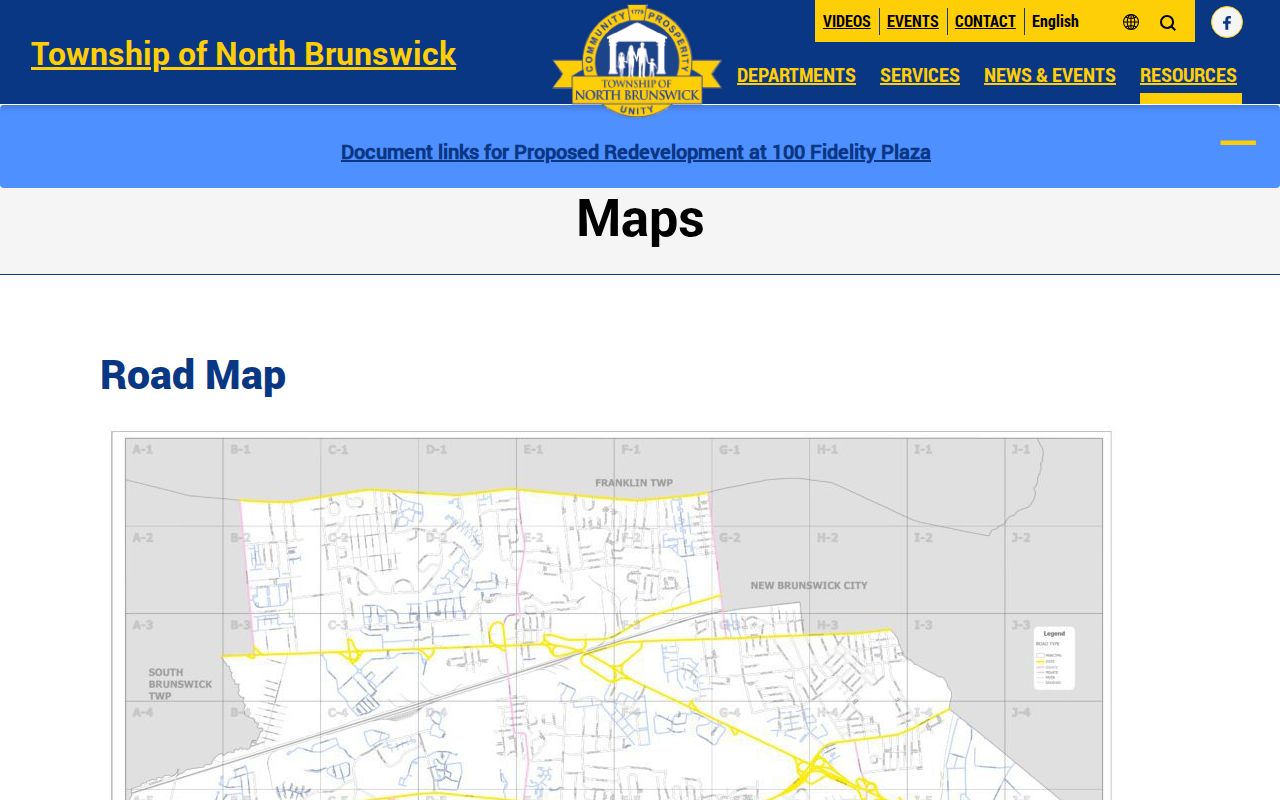
Use the linked viewer to verify the exact location and record the map's displayed date or metadata before relying on a parcel attribute.
North Brunswick Street Records by Address
A North Brunswick street directory can draw only on records that are keyed to an address, parcel, legal description, or dated place reference. The set below separates the source, keeper, and practical use. Each record has its own coverage and access limit. Parcel data supports a place search; it does not identify every person associated with that place.
| Address-keyed source | North Brunswick keeper | Record evidence | Access route |
|---|---|---|---|
| Assessment or parcel card | Township Assessor / County Tax Board | Situs, assessed-owner display, mailing field, class, dimensions, tax year | State or county search, local office |
| GIS parcel | Middlesex GIS | Geometry, current/old block-lot, PAMS PIN, mapped attributes | Public map or REST query |
| Recorded deed index | County Clerk Registry | Parties, instrument, dates, book/page, legal description | Online index and older-record routes |
| Permit or inspection record | North Brunswick Building | Work type, site, permit, subcodes, status where released | SDL, local office, or narrow OPRA request |
| Directory or newspaper | Library / Digifind-It | Historical listing, event, notice, or place reference at a date | Library database or public archive |
Use the same block-and-lot or legal description across records whenever possible. A street name joins sources less reliably, especially where an older item uses a different place label or an abbreviated road name. The documented election material has public and protected layers, but no complete public voter-file procedure was established in the research. Do not infer a street-wide roster from a partial or unavailable election lookup.
North Brunswick Deed Chain by Street
The Clerk's recorded-land system is the bridge from a parcel to a dated instrument. Start with property/legal fields, then search party names as grantor and grantee separately. A grantor is the party transferring an interest; a grantee is the party receiving it. Preserve document type, execution and recording dates when shown, instrument number, book/page, party role, municipality, and legal description. A mortgage, release, assignment, or lien should remain labeled as that instrument, not treated as a conveyance.
Middlesex County Official Records Search is the entry point for the modern index. The county describes practical online coverage from 1929 for deeds, 1950 for mortgages, and 1958 for other documents. Its 2022 digitization announcement reported deeds back to 1923. Earlier work can require the Registry public room, State Archives, FamilySearch county-deed material, or Rutgers finding aids. These are overlapping repository routes, not a promise that every older document is imaged.
The County Clerk browser search displays property/legal, party name, book/page, instrument, and date approaches.
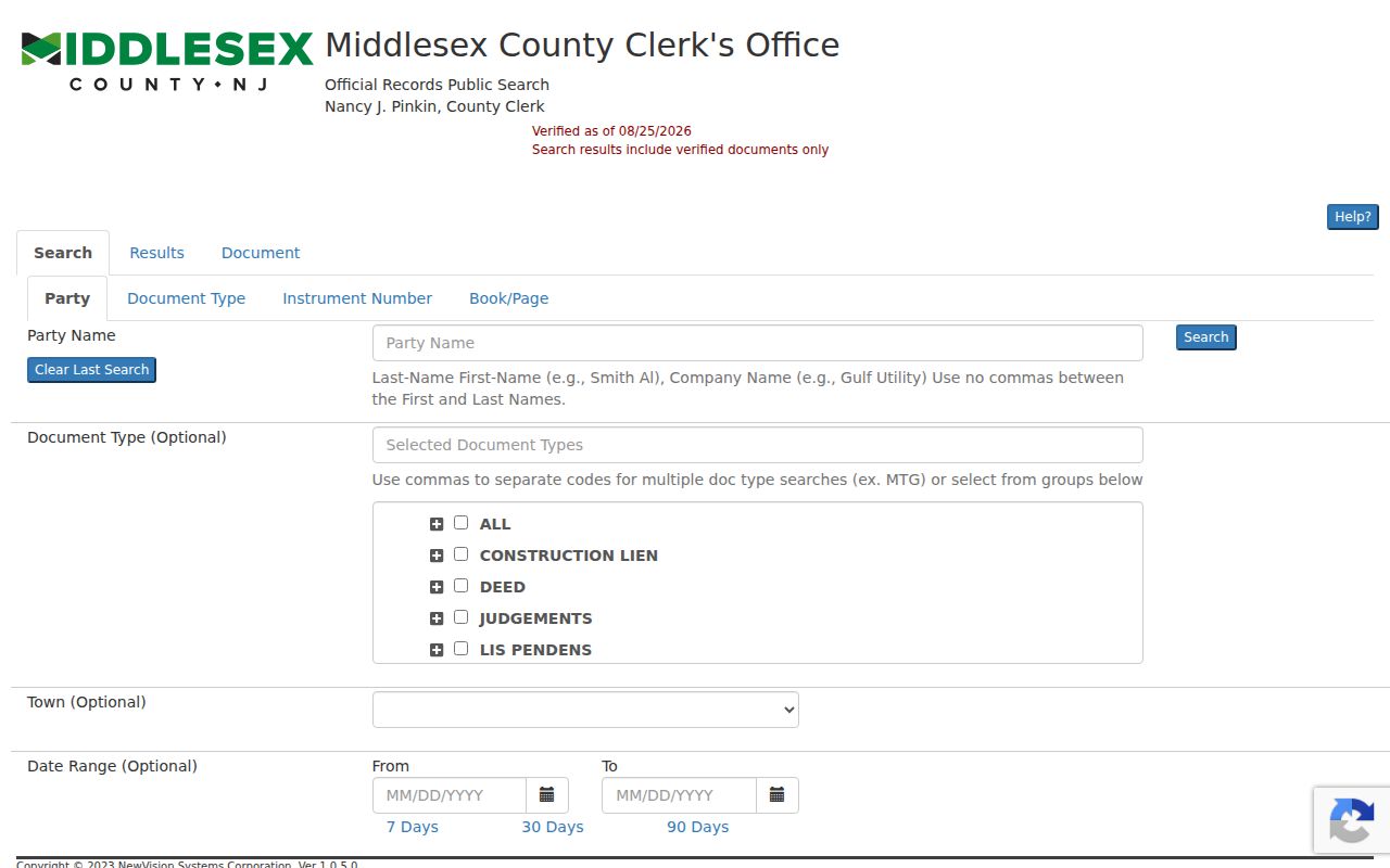
Search guidance recommends the form Last-Name First-Name without a comma and checking spelling variants, initials, married or widow forms, and former names when the source supports them.
North Brunswick Permit and OPRA Route
Address-keyed construction material begins with the township's Building, Zoning, and Code functions. Permit forms can contain a site address, block, lot, qualification code, permit number, work categories, subcodes, plan dates, and inspection-related information. That form is not evidence of a public results database. The research did not locate a publicly inspectable North Brunswick permit-results screen or a start year for a dedicated permit archive.
Where an existing address log is needed, a focused request through the township's New Jersey Open Public Records Act process should name the department, record type, date range, street address or block/lot, and requested format. The local form warns that “any and all” can be too vague. A permit can date work at a site; it cannot establish who was present there. The same distinction applies to code or zoning records.
Note: The township's OPRA process has separate timing and redaction rules, so verify a current request route before sending one.
North Brunswick Street Directory History
Historical street work requires the record's original geography. North Brunswick began in 1779 as a much larger area that included all of New Brunswick and parts of Milltown and East Brunswick. An 1860 act produced the modern township. An old directory, road survey, deed, or newspaper may therefore use New Brunswick, Piscataway, or another period place label. Preserve that label and date instead of replacing it with modern North Brunswick.
The regional directory shelf is useful for a dated address lead. Research identified New Brunswick directory years of 1872–73, 1874–75, 1886, 1890, 1897, 1899, 1901, and 1903, plus a 1901–1933 Allen County run and a regional guide that continues through 1981. The Brunswick digitized archive includes the Forum from 1939–1942 and the North & South Brunswick Sentinel from 1995–2017. Search an old road, farm, legal notice, organization, or cemetery reference, then verify the dated lead with a deed, probate, or census source.
For deeper collections and historical-entry interpretation, use the North Brunswick Directory Book rather than treating a printed listing as a current street result.
North Brunswick Record Geography
The county parcel layer can expose current and old block and lot values, deed book/page, mailing address, ZIP, acreage, year built, and update fields. Those fields help form a crosswalk when an old tax notice, deed, or legal notice uses a prior key. They are leads, not automatic legal equivalences. Save the GIS update date and find the deed or map that actually connects the older and current identifier.
The township's master-plan context identifies established patterns around the Municipal Complex and Adams Station, plus development and transportation areas around Route 130, Route 1, Georges Road, and Farrington Lake. These are planning descriptions, not official neighborhood boundaries or street indexes. Search the actual street and parcel instead of treating a commonly used area name as a record field.
Note: A ZIP helps normalize a mailing address, but it should never replace municipality and parcel verification.
North Brunswick Street Directory Limits
Street-address records are place records with different purposes. Assessment data can show an assessed owner or mailing field. GIS can show a parcel polygon and attributes. A deed can show recorded parties at a date. None of those sources creates a complete household list. A mailing address can belong to an owner, entity, agent, or tax contact, while a historical directory or newspaper tells only what was printed at that time.
- Parcel
- A mapped unit of land identified by keys such as block, lot, qualifier, or PAMS PIN.
- Situs address
- The physical location used to identify a parcel, kept separate from a mailing address.
- Legal description
- The land description in a recorded instrument, which may use a lot, map, metes, or other formal reference.
- Criss-cross directory
- A historical address-oriented directory arrangement that can provide a dated listing, not proof of a current person-place connection.
Lawful use. Use North Brunswick address records for personal, lawful research and source verification. Do not use an address trail to stalk, harass, intimidate, or harm anyone.
North Brunswick Street Search Notes
Assessment and parcel records should be saved with their source date because land records, tax files, and map layers update on different schedules. When a value or name differs across systems, report the discrepancy rather than choosing the result that appears easiest to use. The Township Assessor, County GIS, and County Clerk have separate responsibilities, and each is the proper place to ask about its own field or document.
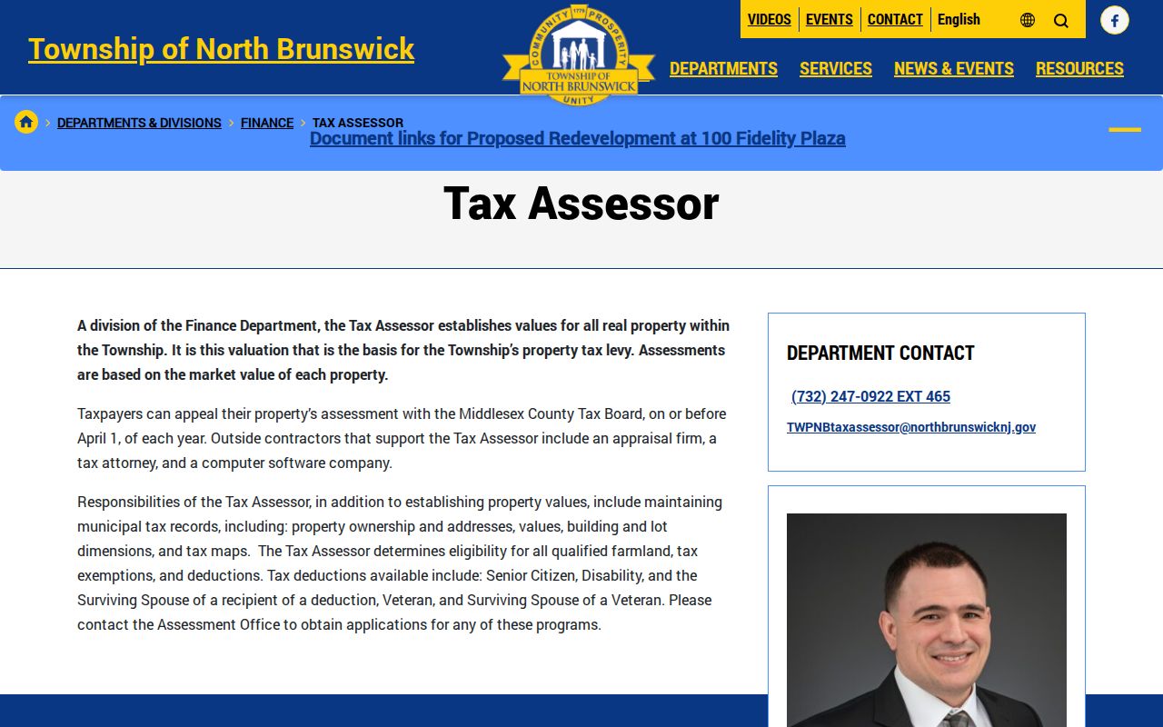
The official North Brunswick Tax Assessor page describes the local assessment function, tax maps, ownership/address maintenance, appeals, exemptions, and deductions.
For ordinary delivery-address work, the postal record, municipal parcel key, and dated land instrument make a stronger trail together than any single display.