
North Brunswick Neighbors by Record
A block-level search begins with geography. The useful question is whether a parcel touches another parcel, sits across a road, shares a block, or lies within a chosen distance. Each category has a different meaning. The official sources below provide a public record trail for North Brunswick neighbors and nearby places. They do not establish current occupancy, household composition, personal contact details, or membership in a group.
| Source | What It Shows About a Block | Access |
|---|---|---|
| Middlesex GIS parcel layer | Parcel geometry, block and lot fields, old identifiers, and nearby mapped parcels | Public map service and query metadata |
| NJ Property Explorer | Annual assessment fields such as owner display, location, block/lot, class, and assessed values | Public annual-file route; post-file transfers can lag |
| Middlesex Official Records Search | Recorded party names, document type, dates, legal descriptions, and book/page leads | Public index; document access and fees vary |
| Statutory voter-record route | Defined election fields under New Jersey law, not a block census | Confirm list format and access with Middlesex elections offices |
| Township organizations page | Public civic and service-group contacts, meetings, and participation routes | Public page; no member roster found |
An assessed owner field or deed party can be an entity, trust, estate, representative, or mailing contact. It is not evidence that the named party lives at the parcel. Likewise, a public organization’s meeting notice says that the organization exists and offers a public route, not that nearby people belong to it.
North Brunswick Parcel Geometry
The Middlesex County parcel FeatureServer is the strongest public starting point for an adjacent-parcel question. Its documented schema includes current and old block and lot fields, deed book/page, owner mailing address, ZIP, acreage, year built, and update fields. Map geometry is still the first test: inspect the target polygon and its surrounding boundaries before comparing record fields.
The public GIS parcel metadata documents the fields used for this North Brunswick neighbors map check.
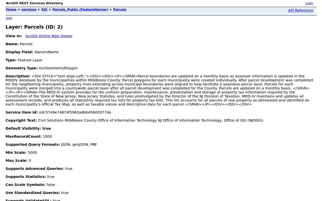
Roads, water, condominium common elements, rail lines, and municipal tracts can make a visual edge misleading. Record “touches the polygon,” “same block,” “across a road,” and “nearby within a chosen distance” as separate findings. The service documents a 2,000-record query maximum, so a broad result should be bounded by municipality, block, geometry, or pagination rather than exported as a township-wide owner list.
Map North Brunswick Neighbor Parcels
Use the same parcel key across the map, assessment display, and deed index. A PAMS PIN, block and lot, or documented map identifier reduces the risk of confusing a similar street address. The workflow preserves the source distinction between a mapped neighbor and a recorded property party.
- Locate the target address in the township map links or county parcel layer. Save the displayed municipality, parcel identifier, block and lot, geometry, and map update date.
- Inspect touching polygons and nearby frontage. Label each candidate as touching, same block, across a road, or within the selected distance. Do not treat all nearby shapes as adjacent.
- Check a candidate parcel in the assessment source for the tax year and displayed fields. If property history matters, use the Recorder index for document type, parties, recording date, and legal description.
- Preserve conflicts. A map label, annual assessment file, and recorded document can reflect different update dates or purposes, so a conflict should go to the Assessor, GIS office, or County Clerk for clarification.
A whole named street needs a different record chain. The North Brunswick Street Directory follows the broader address sequence rather than the immediate block around a single parcel.
Note: The Middlesex GIS service is a source for authorized, bounded research, not permission to republish bulk parcel-owner data.
North Brunswick Block Record Dates
A property record becomes more useful when its date and role are clear. The County Clerk index can identify a deed, mortgage, release, assignment, lien, or other instrument. Those documents should not be collapsed into one generic ownership claim. A seller, lender, grantee, trustee, or representative can appear in a recorded filing without being the person who occupies the place.
The North Brunswick building-permits page describes the local procedure and gives an address or block-and-lot context for a specific record request. Permit material can date work, list a permit number or subcode, and support a narrow request through the office or OPRA route. A permit does not prove who lived at the address.
The official building-permits procedure is the source for the North Brunswick neighbors record context shown below.
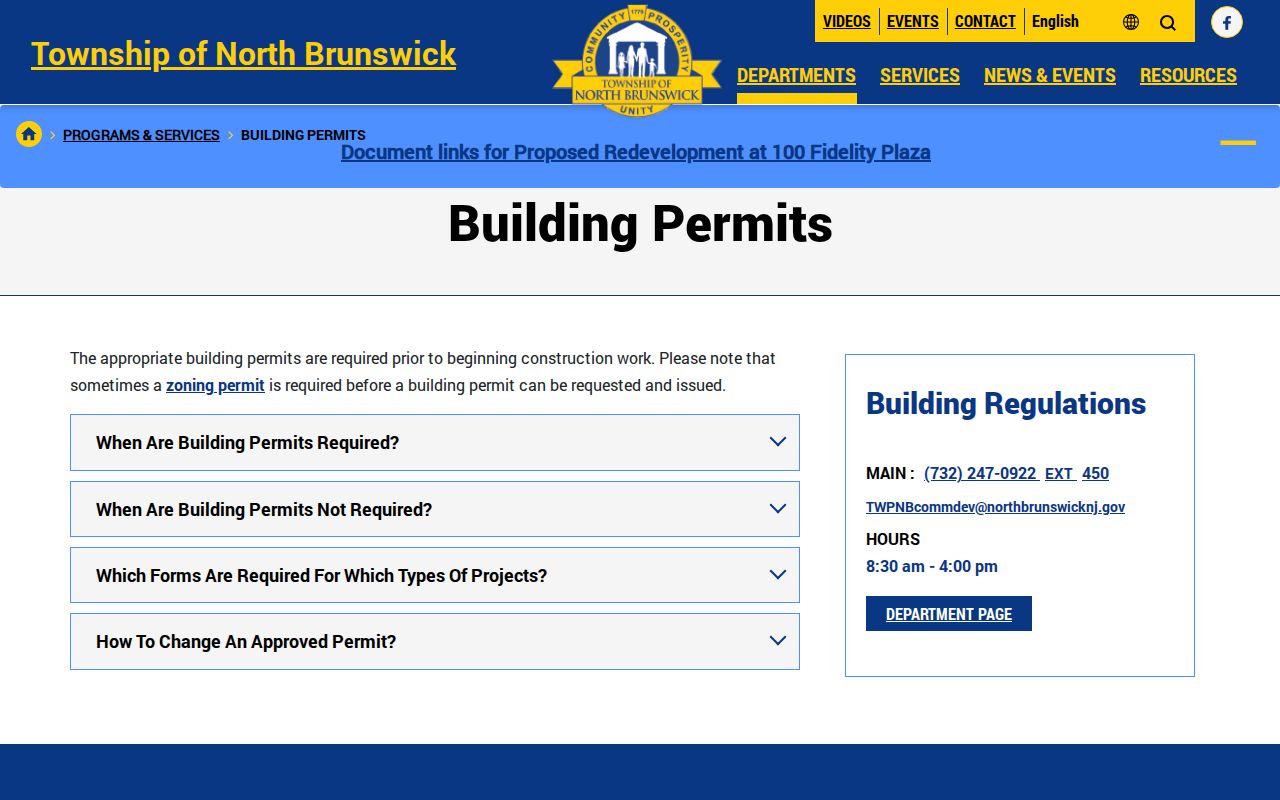
The current research did not locate a public permit-result search or a confirmed retention start year. Ask for an existing, dated address-level log, permit number, or final inspection record. Do not ask an office to create a new account of everyone associated with a block.
North Brunswick Public Organization Routes
North Brunswick has public civic and service-organization information that can explain community structure around a place. The township local-organizations page names groups and supplies public contact or meeting information. It does not publish a complete neighborhood, HOA, household, or membership directory. Use the published route when participation or a public event is the question.
North Brunswick Woman’s Club
The township lists a public third-Monday meeting at the municipal building and an open-to-community participation route. It is not a member list.
North Brunswick American Legion
The township page identifies the local post and its public contact information. Public contact does not establish membership or a residence.
North Brunswick Humane Association
The listed organization provides a public civic contact route. It should be described as an organization, not as a roster of supporters.
Township Boards and Committees
Planning, Open Space, Library Trustees, Traffic Safety, and other public bodies offer meeting and participation context, not a neighborhood directory.
The North Brunswick organizations page supplies the public contact context represented in this neighbors lookup image.
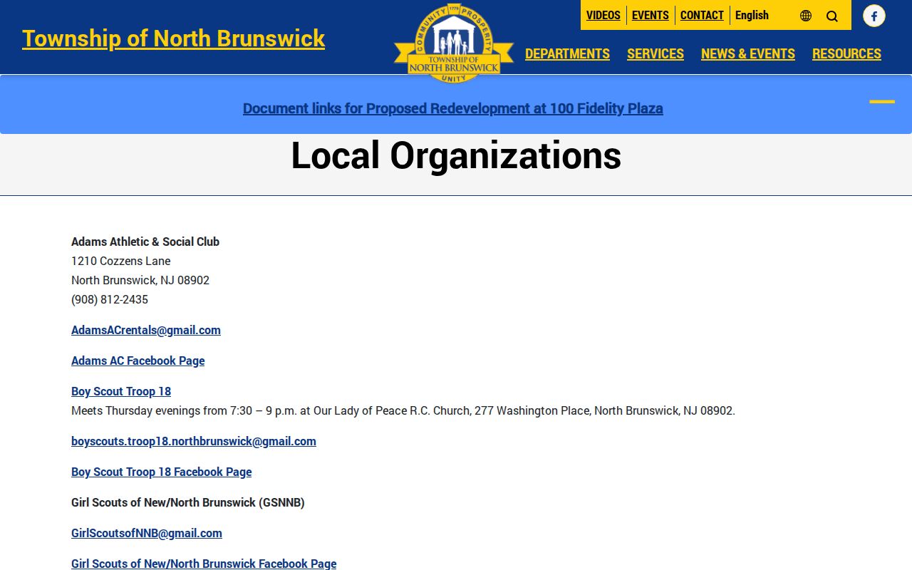
No official public HOA or complete organization-member roster was located in the research. Do not infer membership from a meeting attendance list, event photograph, donation, volunteer application, or public contact page.
North Brunswick Nearby Public Places
Mapped North Brunswick neighbors can also include civic landmarks and public places. Pulda Farm is a useful example of a geographic record trail: township material identifies it as the last remaining farm, acquired in 2010, and places the community garden at 300 Old Georges Road. The community-garden information supports place-based research through maps, grants, preservation documents, and municipal records.
Elmwood Cemetery’s public history, public boards, parks, and other civic places can provide historical or community context. They do not support a present-day family directory, a list of descendants, or a claim about who lives nearby. When a parcel borders a public tract or road, record the public feature itself rather than trying to turn proximity into a personal relationship.
North Brunswick Voter Record Boundaries
New Jersey voter information is controlled by N.J.S.A. 19:31. A county may furnish statutory election-district lists, but the current direct-lookup behavior, list format, fee, and field rules should be confirmed with the Middlesex Board of Elections. The public voter-record layer is not a street-by-street household census, and a voter entry is not a claim of current residence for a neighbors lookup.
Signatures, protected identifiers, and some system fields are restricted. Do not use a public election route to recreate private contact information. Renters, other household members, utility customers, delivery records, and protected residents are not reliably exposed by a parcel map or voter source.
North Brunswick Neighbor Sources Compared
Official sources have a defined custodian, stated record purpose, and a path for asking about fields or corrections. Commercial neighbor-lookup tools are a category of services that combine mixed public, licensed, and purchased information. They can be stale, duplicated, incomplete, or wrong. Use the official map and record custodian for an authorized question rather than treating a compiled profile as proof.
| Source category | Best use | Boundary |
|---|---|---|
| Official GIS and assessment records | Identify map geometry, dated parcel fields, and public administrative context | Owner display or mailing field is not occupancy proof |
| Official Recorder and permit records | Verify a recorded instrument or a bounded address-and-date record | Party or permit role does not create a household relationship |
| Public organization pages | Find public meeting, event, and participation information | Do not infer membership or publish a roster |
| Commercial compiled tools | Not an authoritative source for a North Brunswick neighbor claim | Do not use them to overcome redactions or privacy protections |
North Brunswick Neighbor Lookup Privacy
North Brunswick neighbor research is limited by law and by what a record actually shows. The township’s OPRA materials identify sensitive information that can be exempt or redacted, including private contacts, month and day of birth, financial data, driver-license information, juvenile material, and protected addresses. Daniel’s Law and the Address Confidentiality Program can require a location to be withheld. A missing field must not be reconstructed from another source.
No stable official North Brunswick incident-log search or address-level emergency-call archive was established in the research. Do not fill that gap with scanner reports, social posts, scraped arrest pages, or unverified neighborhood reports. For a public-safety concern, use official emergency contacts, notices, and court or custody portals in their own lawful context.
Lawful use. North Brunswick neighbor research is for personal, lawful geographic and civic context. Do not use parcel, organization, or public-record information to watch, stalk, harass, intimidate, or harm another person.